The city of Las Quintanas
A cat or a Phoenix? The city that emerged seven times from its ashes
The city of Pintia lies one kilometer north of the village of Padilla de Duero, nowadays it is agriculture land. The topography is considered a tell, consisting of small mounds created by humans over many centuries, about two or three meters higher than it´s surroundings. This tell is the result of the successive overlying of constructive deeds.
This functional area of the archaeological site is about 25 hectares long and borders the Duero River while the other is a man-made defensive wall easily identified with the help of aerial photography and recently excavated. It had a complex defensive architectural design endowed with a proper wall followed by a system of three consecutive moats that extended well over one kilometer.
Archaeologists have identified different occupation strata within this area, dated from the 4th century B.C. to the 7th century A.D. being the Vaccean and the Roman periods the most significant. However, the exceptional heritage of the area came from extremely violent episodes, providing us with snapshots in situ leaving well preserved remains of the daily routines of these people.

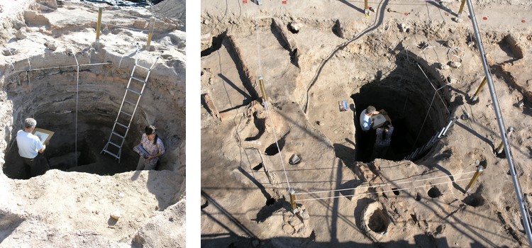
Unfinished Roman well
Pintia survived as a city after the Roman conquest until the 4th/5th to the 7th centuries A.D. when the city began a progressive decline. As an example, the residential areas were reused during the Visigoth period as a cemetery. The city could have been finally abandoned due to the invasion of the Arab armies.

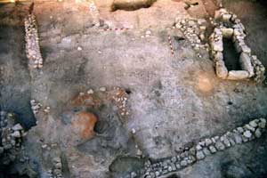
Roman house in Pintia
«In the year 711 the moor Muza destroyed the city of Pintia...» as the children of Padilla de Duero used to learn from their history teachers. These words were carved into a Vaccean ceramic bowl that reveal how the lesson was ingrained in the memory of the people of Padilla de Duero.


