Federico Wattenberg Center for Vaccean Studies (University of Valladolid)
PINTIA VACCEA
Pintia, Vaccean city
An oppidum in the Eastern reaches of the Vaccean region
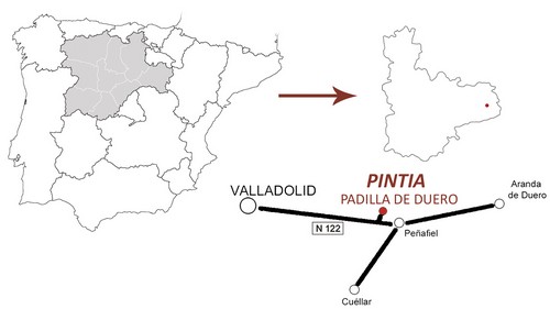
The city of Pintia is located in the south-western area of the province of Valladolid between the villages of Padilla de Duero and Pesquera de Duero on both sides of the Duero River.

Schematic plan of the situation of Pintia Archaeological Site
Pintia Archaeological Site (Zona Arqueológica Pintia) covers about 125 hectares and holds a peerless rich heritage that reflects over a thousand years of historical evolution. It was dominated by three different cultures; periods within that time-lapse that can be studied: Vaccean, Roman and Visigoth. However, it is the pre-Roman period, from the 4th century B.C. until the cross of Era, the most significant.
Although the majority of the archaeological remains are underground, we’ve been committed to restore and excavate the site, making it possible for everyone to understand these cultures (being the guided tour the best option).

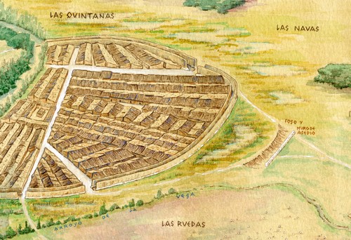
Ideal reconstruction of Pintia's defensive system
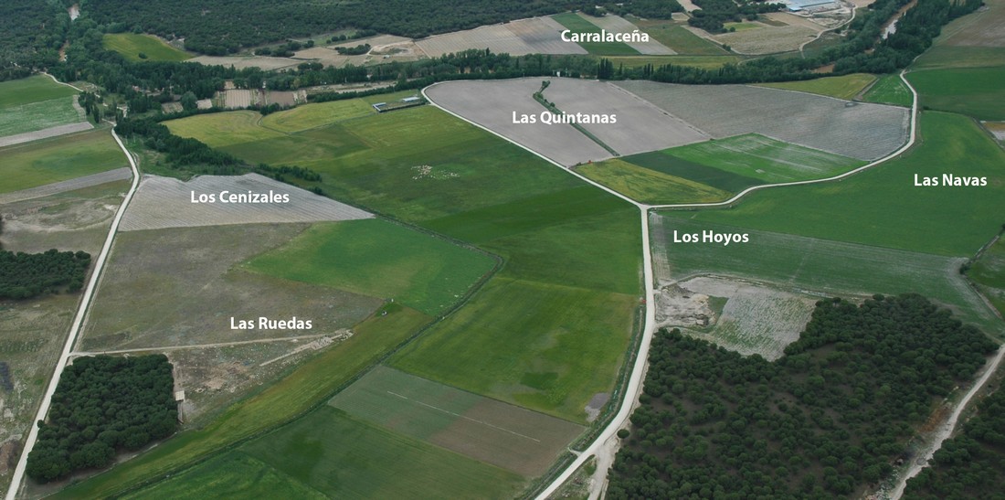
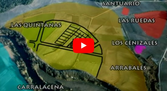
The Archaeological Site is divided into several functional areas such as: the residential area called Las Quintanas, the contiguous necropolis called Las Ruedas, the ustrinum or crematorium called Los Cenizales and a possible sanctuary located between the area of Los Hoyos and Las Ruedas. All of these areas are located in Padilla de Duero except the artisan quarters of Carralaceña which are located in the nearby village of Pesquera del Duero. The artisan quarters features its own living quarters, pottery workshops and necropolis.
In addition to all these areas, the city also had farming and grazing fields as well as mounds and roads.
Maybe you're interested...


